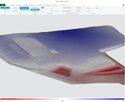
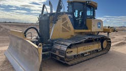
Enhanced SiteWorx/OS Version 10.0 software is for excavation contractors seeking an accurate method for estimating quantities and developing machine control models.
It is designed for small 1-acre sites to the larger 100-plus-acre sites. Quantity surveyors can complete a 100-acre takeoff from an AutoCAD DWG file in less than five minutes with the software, the company says. From Vector type PDF files, professionals can isolate layers, snap to contour lines, and create GPS coordinates and elevations for site layout and machine control. There are many improvements added to this version 10 software, including a rock report that clearly shows the location and depths of rock layers, user defined cross section placement, improved tools for editing takeoff objects, and many other enhancements.


