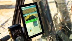
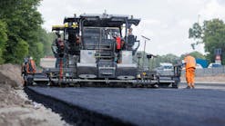
Hensel Phelps is currently using Propeller, a drone and analytics platform, to perform 3D modeling site surveys and track, map, and measure the job site while building the Daniel K. Inouye Airport in Honolulu. Hensel Phelps started using Propeller to thoroughly identify the areas they would be working in, according to an article on the Propeller website. The team would begin by putting layers in to view utilities on the build--including both existing ones they needed to avoid, and ones yet to be built.
Current 3D Models Keep Workers Safe
Hensel Phelps also uses Propeller to keep their personnel out of hazardous areas, and do safety briefings with up-to-date visuals of the job site.
When laying airport utilities, for example, the team ran into a number of large utility conflicts. This included uncovering a 16-inch water main cutting though the site that was in the wrong location. The main power feeds for the airport were also cutting through the site in the wrong location.
“We used Propeller to identify those impacts,” said Brian Holm, project superintendent. “We had the drone snapshot and overlays of where the existing utilities used to be and where the existing utilities ended up being.”
3D Scanning in the Morning
At 6:30 every morning, all airport superintendents, field engineers, and foremen meet and view their current project on Propeller. Afterward, they brief each other on what they’ll be working on that day.
The Hensel Phelps team also flies its drone weekly to capture job site conditions. The company turns that data into a 3D model.
“We can see real-time how the site’s changed and the different areas people are going to be working on,” said Holm.
3D Model Programs Across the Site
Maggie Porter, a field engineer, said her work would be a lot less convenient if the team didn’t have Propeller available. “The birds-eye view gives you a really good perspective of what’s on the jobsite.” Having that view allows Porter to check on stockpiles with only a few clicks.
Source: Propeller
